
Gates Neighbors Block Evidence
Several public sources can describe the land and public record trail around an address, but they answer different questions. The Monroe parcel layer is the map bridge. The Gates assessment roll supplies a recorded owner, situs, mailing, parcel, class, and deed-reference snapshot. The deed index concerns recorded transfers, while the voter tool is an entered-person lookup. Directory and community resources add historical or public-contact context, not an unrestricted roster of people on a block.
| Source | Block evidence | Access |
|---|---|---|
| Monroe Parcel Viewer | Parcel polygons, address display, and spatial arrangement around an address | Public viewer and public parcel layer |
| Gates and Monroe assessment roll | Recorded owner, situs, mailing field, parcel, class, and deed book/page | Public roll PDF and property gateway |
| Monroe deed index | Recorded transfers and legal descriptions for selected parcels | SearchIQS index, Clerk counter, and request channels |
| Monroe voter lookup | Controlled confirmation for an entered name and address | Free personal lookup with statutory limits |
| RPL house directories | Historical householder or address clues where a volume covers the area | Library and digitized regional material |
A recorded owner is not the same thing as a current occupant. A mailing address can be elsewhere, a parcel can be vacant, and other household members may not appear in property records. Treat each record as evidence of its own field and date.
Map a Gates Block by Parcel
The Monroe County GIS Hub links to the Parcel Viewer, while the public parcel layer provides the underlying polygon layer. Its display field is parceladdressstreetname. The layer was created in June 2024, recreated weekly, and distributed quarterly when inspected. Assessment data joins are maintained daily, but the map still carries a data-quality disclaimer and should be checked against the roll for the needed date.
The map establishes spatial relationships. It does not establish occupancy. Roads, rail lines, and water can interrupt what looks close on a screen. Use clear labels such as adjacent, across road, and nearby rather than treating every parcel within view as a neighbor relationship.
Monroe's public parcel-layer page documents the public geometry and address-display resource.
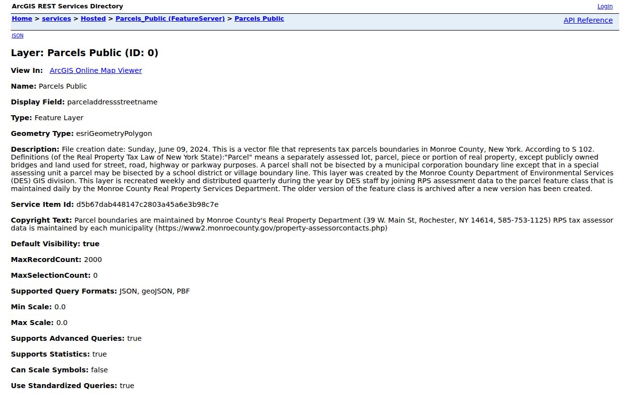
The parcel layer is the right starting point for a block sketch. Move from each selected polygon to the assessment roll before drawing any conclusion about a recorded owner.
Follow a Gates Neighbor Parcel Trail
The adjacent-parcel method keeps a Gates neighbor search tied to an address and a particular record date. It avoids the misleading shortcut of treating a map view as a list of everyone nearby. The parcel ID is the durable bridge from map to roll and then, if needed, to a deed.
- Begin with a standardized address or a known Gates assessment-roll row.
- Open the Monroe Parcel Viewer and zoom until the target polygon and surrounding street names are readable.
- Select the target and note its displayed address and parcel ID.
- Select parcels that share a boundary or lie across a public road. Mark the relationship as adjacent, across road, or nearby.
- Take each parcel ID to the Gates property-data gateway or roll and record the roll year, situs, recorded owner, mailing field, class, and deed book/page.
- For a transfer question, use the Monroe deed index to compare the selected parcel's legal description and recorded dates.
The rendered map controls did not expose a verified radius, buffer, export, or advanced-search function in the inspected research. Do not assume the viewer can generate a precise block list. For a full street record chain, use the Gates by-street directory after identifying the relevant parcels.
Read Gates Neighbor Fields Precisely
A Gates assessment row can supply a useful set of property fields: the parcel or tax-map number, property location or situs, current recorded owner, owner mailing address, school district, property class, assessed values, exemptions, physical dimensions, and deed book/page. In the 2025 roll, a 2358 Manitou Road example has a Gates situs but a Spencerport NY 14559 owner mailing address. That is why a mailing field should never be relabeled as a neighbor's physical location.
| Field | What it supports | What it does not establish |
|---|---|---|
| Parcel ID | Map, assessment, and deed matching | A household name |
| Situs | Physical parcel location | Owner correspondence location |
| Owner mailing address | Assessment correspondence destination | Where the parcel is located |
| Deed book/page | A bridge to recorded title evidence | Current presence at the parcel |
| Exemption field | A roll's stated assessment fact | A complete occupancy list |
Use the legal description and subdivision or lot whenever an address seems to shift. A deed conveys land, the tax roll is an assessment record, and the GIS polygon is a map representation. They can update on different schedules.
Gates Neighbor Voter Limits
The Monroe Voter Registration Lookup accepts street number, street name, ZIP, last name, and date of birth. It is not a control for showing every voter on a block. New York Election Law §5-508 defines public registration fields, but Election Law §3-103(5) restricts use of voter-registration information to election purposes. The county tool is therefore a controlled confirmation path, not a neighborhood directory.
Questions about a voter-data file belong with the Monroe Board of Elections or the state's election FOIL process. The state guidance requires an elections purpose and describes a supplied layout for ASCII comma-delimited data. Protected voters can have addresses withheld. A no-result does not demonstrate that no one is registered at an address.
Gates Neighbor Community Routes
Gates community organizations can offer a public event, archive, or contact route. The research did not find a comprehensive public HOA inventory, municipal neighborhood-council map, or complete member directory. That is a useful boundary: public organization pages can help someone locate a meeting or historical resource, but they should not be presented as private household lists.
| Public route | Role | What is publicly supported |
|---|---|---|
| Gates Historical Society | Local history and genealogy | Archive by request, tours, and a contact route; no public member roster located |
| Gates Garden Club | Community garden programs | Public meetings and projects in Town material; no public member roster located |
| Gates-Chili Chamber of Commerce | Business and community umbrella | Public organization and events; public member roster was not located |
| Keep Gates Clean | Volunteer cleanup initiative | Program description and scheduled activity; no resident roster |
| Gates Police community programs | Neighborhood-watch and safety contact route | Program contact, not a neighborhood member database |
The Gates-Chili Chamber of Commerce provides a public community umbrella and contact route.
Its public presence supports event and organization research, not a claim about everyone connected with a neighborhood.
The Chamber events page is a separate public way to identify scheduled community activity.
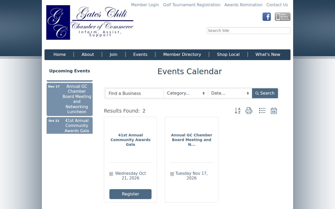
Use a dated event as context or a contact lead. Do not infer attendance, membership, or an address from the listing.
Gates Neighbors: Official and Commercial Sources
Official sources identify the custodian, record date, and limits of a result. Commercial people-search services are a separate category that can combine public filings, old directory traces, and data-broker material. Their summaries may be stale, may merge same-name people, and often omit the context that distinguishes a parcel owner from a household member. Verify any lead with the office that created the record.
| Source type | Useful for | Key limit |
|---|---|---|
| Official parcel and assessment records | Mapped parcel and recorded owner at a stated roll date | Not a complete list of occupants |
| Recorded deed index | Title-transfer trail and legal description | Not proof of present occupancy |
| Controlled voter lookup | Entered person and address confirmation | No block roster; elections-purpose and protected-voter limits |
| Commercial summaries | Possible research leads | Accuracy, timeliness, and identity matching need independent verification |
Gates Neighbor History by Address
For a historical block rather than current Gates neighbors, Rochester Public Library's street and house directories can show a listed householder where the volume covers the address. The 1930–1940 suburban directory run includes Gates. Pair a directory entry with the nearest census, the parcel or lot, and the deed chain. A regional directory, an older municipal label, or the 1912 telephone directory may organize the area differently from today's ZIP or town line.
The Gates Historical Society archive, available by request, and the Town Historian can help frame buildings, roads, and local development. They are contact routes for local context, not databases that prove every past occupant on a block.
Gates Neighbors Privacy Limits
New York's public-record rules contain firm limits. Assessment rolls do not supply a complete household list. DMV personal information is protected, utility and delivery accounts are not public block evidence, and sealed court, vital, adoption, and protected-voter material stays restricted. The New York Address Confidentiality Program can use a substitute address for eligible participants. A missing result can reflect confidentiality, not absence.
If a parcel, voter result, or historical directory seems to identify someone, keep the record's date and purpose in view. A roll may be old, a directory may use an abbreviation, and a name can belong to more than one person. The proper response to uncertainty is to verify the address or parcel with the custodian, not to fill gaps with private account data, social posts, or assumptions about a household.
New York FOIL can seek an existing Town record, but it does not require Gates to create a new list of people around an address. The Town's FOIL route is useful when a specific existing file is sought, subject to exemptions and the custodian's response rules. A request should name the record, date range, and address or parcel precisely.
Lawful use. Use block records for local history, property questions, civic context, and personal safety awareness. Do not use them to watch, threaten, harass, or intimidate another person. New York law addresses stalking and repeated unwanted conduct, and public access does not remove those limits.