
Working a Gates Street Directory Step by Step
A street search can establish who is recorded as an owner, identify the mapped parcels along a road, and lead to dated household evidence. It cannot prove every person who lives at an address. In Gates, the reliable route is address first, parcel second, and name evidence after that. The tax roll provides the initial parcel bridge; the GIS map supplies spatial context; the deed index explains recorded title; the voter tool is a controlled check; and old directory street sections may identify a past householder.
- Open the Gates property-data gateway or the public assessment roll. Search the physical address, owner name, or tax-map number when the available source permits it, then record the roll year, situs, parcel ID, mailing address, legal description, and deed book/page.
- Use the Monroe County GIS Hub and Parcel Viewer to locate the same parcel. Click the target polygon and the adjoining polygons one at a time, keeping spatial neighbors separate from people who may be present.
- Check each parcel ID against the roll. A street-wide review may use a roll PDF search for the road name or map browsing. The research did not expose a documented one-click list of every parcel on a street.
- Move from the deed book/page to the Monroe County Clerk's SearchIQS index. Search the current owner as grantee, capture the earlier grantor and legal description, then repeat backward when title history is needed.
- Use the Monroe voter lookup only with the entered street number, street name, ZIP, surname, and date of birth. For older households, use library house and street directories rather than assuming a current record answers a past question.
Note: A by-address result should always retain its source date because an owner, mailing address, parcel line, and road number can change independently.
Gates Street Directory Needs Five Identifiers
Record the situs, the owner mailing address, the tax-map parcel ID, the legal description, and the record date for every Gates address. The situs tells where the parcel is. The mailing field tells where assessment correspondence goes. The legal description is the land description used in the recorded instrument. The parcel ID connects the assessment roll to GIS and deed work. The date tells which version of the record you saw.
These labels prevent a common Gates mistake. A parcel can be physically in Gates while the mailing address uses Rochester or Spencerport. A street number can also change, a parcel can split, and a recorded deed can name a subdivision lot rather than a modern street address. Search the legal subdivision, lot, previous tax number, or deed book/page when the number alone stops matching.
Myth: An owner mailing ZIP identifies the municipality of the land. It does not. The roll's mailing field is for correspondence, while the situs, parcel, legal description, and GIS location identify the Gates property.
Gates Street Directory Assessment Fields
The live county search screen was not fully exposed during research, so the verified public schema comes from the Gates assessment roll and the Town gateway. Owner name, physical property location, and parcel ID are practical ways into the record. A current search button label, advanced-search behavior, result cap, export function, and ZIP filter were not documented, so none should be promised. The table shows fields that the local roll or gateway route supports.
| Gates assessment field | Record role | Verified format or meaning | Street research use |
|---|---|---|---|
| Owner name | Search or roll name | Search spelling and surname variants | Connect a recorded owner to a parcel |
| Property location / situs | Address field | Physical parcel address | Start with the street number and road |
| Parcel ID / tax map number | Text identifier | Example format: 103.05-1-58 | Stable map and deed bridge |
| Owner mailing address | Result field | May differ from situs | Label as correspondence, not location |
| Property class and values | Result fields | Class, land, total, taxable values | Distinguish the parcel record |
| School district and exemptions | Result fields | District and applicable roll labels | Supporting parcel detail, not household proof |
| Parcel size / front / depth | Result fields | Physical dimensions and acreage | Check a lot against a map or plat |
| Deed book / page | Result field | Recorded-reference bridge | Open the Clerk's title trail |
The Town warns that the county portal may lag Gates' updated assessment. Use the roll and the Assessor for current confirmation. The record is about assessment and recorded ownership, not a full count of people at the address.
Gates Parcel Viewer Along a Street
The Monroe County GIS Hub leads to the Parcel Viewer and the public parcel layer. The layer is polygon geometry with the display field parceladdressstreetname. It was created June 9, 2024, recreated weekly, and distributed quarterly; its assessment joins are maintained separately. That makes it useful for spatial context, not a guarantee that every assessment value is current.
Pan and zoom along a Gates road, select the target polygon, copy the displayed address and parcel identifier, then inspect adjoining polygons. The research verified pan/zoom, clickable parcel selection, and address attributes. It did not verify the full rendered search-menu labels, partial-match rules, buffer tools, measurement controls, or export functions. A road, rail line, or water feature can make two close-looking parcels something other than shared-boundary neighbors.
The GIS Hub is the map entry point for a Gates street directory search.
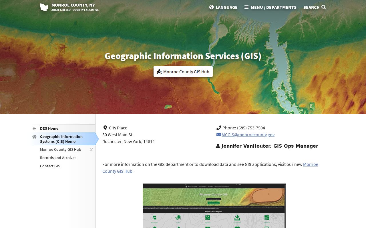
After finding a polygon, return to the assessment roll for recorded owner and mailing fields instead of treating the map itself as a household source.
Gates Street Directory Coverage by Record
Address-keyed records overlap but do not say the same thing. The map locates a parcel. The assessment roll names an owner for its roll year. A deed records an interest transfer. A building application may name an owner or applicant in an existing file. The voter tool confirms only an entered person and address under its limits. Combining them carefully produces a more reliable street trail than relying on one field.
| Address record set | Gates or Monroe keeper | What it can establish | Access boundary |
|---|---|---|---|
| Assessment roll | Gates Assessor / Monroe RPTS | Owner, situs, mailing, class, values, parcel, deed reference | Public roll and gateway; check roll year |
| Parcel GIS | Monroe GIS / RPTS | Polygon, address display, spatial arrangement | Public map; no household list |
| Recorded deed | Monroe County Clerk | Grantor, grantee, legal description, book/page | Free index; image access rules and fees apply |
| Building or zoning file | Gates Building / Planning | Addressed application, owner or applicant fields where retained | Department or FOIL request; no public search index found |
| Voter registration lookup | Monroe Elections | Entered registered voter and election information | Controlled lookup, no street roster |
| House or street directory | Rochester Public Library | Dated listed householder and address sequence | Historical collection with year and area gaps |
The parcel ID is the strongest bridge among local assessment, map, and title records. The road name helps find entries, but the parcel and legal description are safer when numbering or municipal context has shifted.
Gates Mailing and Situs Addresses
The 2025 Gates tentative roll illustrates the difference clearly. Parcel 103.05-1-58 lists 2217 Spencerport Road as both the situs and owner mailing address. It shows class 210, Spencerport Central School District, land assessment 36,200, total assessment 145,400, BAS STAR 41,854, and deed book 9875/page 316. This is a roll snapshot, not proof of present household membership.
Parcel 103.05-1-62.1 instead lists 2358 Manitou Road as the property location and Spencerport, NY 14559 as the owner mailing address. Its class is 210, with land assessment 37,800, total assessment 232,300, and deed book 11688/page 437. The differing mail destination is the local reason to write both labels down. It is not evidence that the Gates parcel has a different physical ZIP or town location.
Note: Preserve the punctuation in a tax-map number exactly as printed because simplifying it into a street number breaks the link between the roll, GIS, and deed record.
Gates Deed Chains by Street Address
Begin a Monroe deed chain with the assessment roll's owner and book/page. In SearchIQS, search the current owner as the grantee or buyer. Capture the grantor, grantee, recorded date, deed type, legal description, tax-map number when indexed, and the earlier book/page reference. Then search the prior owner as a grantee before that deed date. A grantor transfers the property; a grantee receives it.
Do not rely on a street-only hit. A deed can cover several lots, reserve an interest, or use a subdivision description. Compare the municipality, lot, map, co-grantee, and legal description before treating two results as the same Gates parcel. If the address is absent or changed, use the parcel number, subdivision, lot, and prior owner. A plat maps a lot or subdivision, while a deed transfers a title interest.
Deed indexing for Monroe begins August 28, 1973, with images from January 2, 1976. Historical grantor/grantee index books cover 1821 to 1907 and 1914 to 1975, but they are index-only ranges. Since April 1, 2026, public indexing remains free while online document images need a subscription. County Clerk public terminals continue to provide free image access.
Insider tip. A book/page and legal description are the best anchors when a street number changes. Keep them with the parcel ID before moving backward to another owner.
Gates Voter Lookup Is Not a Roster
The Monroe Voter Registration Lookup can return a registered-voter result, polling place, sample ballot, absentee or mail-ballot status, and elected-official information for an entered person and address. It does not expose a control to show every voter on a Gates road or to export a street list. New York Election Law §5-508 identifies public registration fields, while §3-103(5) restricts use of voter-registration information to election purposes.
| Lookup field | Verified input | Street-search limit |
|---|---|---|
| Street # | Numeric text | Entered location field, not a block browser |
| Street Name | Autocomplete/text | Use standardized suggestion when provided |
| Zip Code | Five-digit text | Supports person/address lookup only |
| Last Name | Surname text | Helps distinguish a named person |
| Date of Birth | MM/DD/YYYY text/date | Disambiguates entered person, not a street list |
Protected voters may have an address withheld. A no-match may reflect a wrong field, maintenance status, another municipality, or confidentiality. It is never proof that nobody lives at a Gates address.
Gates Street Files at Building and FOIL
The Gates Building Department and Public Works route covers plan review, permits, inspections, planning, zoning, and conditional-use matters. Its permit application visibly asks for property address, parcel ID for new builds, owner information, applicant and contact fields, and work details. That application is not a public historical permit-search database. No online permit-result limit, export behavior, or public address-case index was located.
For an existing addressed file, contact Building or use the Gates FOIL process. Describe the property, record type, and date range rather than requesting a generated list of people. The Town lists a $75 zoning-compliance fee, but current routing should be confirmed because the department page contains some inconsistent contact text. Records may also have retention and privacy limits.
Gates Street Directory in Older Volumes
For a historic address, the Rochester Public Library Local History & Genealogy collection offers house and street sections that work from address to listed householder. The Rochester House Directory has 15 volumes for 1892 to 1920. House sections appear in main directories from 1922. Regional suburban directories for 1930 to 1940 include Gates, but individual years and coverage must be checked before drawing a conclusion.
A criss-cross directory is an address-first directory, sometimes called a house or street directory. It is useful for a former Gates household because it can place a listed name in the sequence of numbered addresses. Start with the street section, then check the alphabetical entry. A directory absence is a lead for more research, not proof of departure.
The detailed collections belong with the Gates city directory collections, while the current address-record route remains the focus here.
Gates Boundaries Change Address Clues
Gates began as Northampton in 1813 and entered Monroe County when the county formed in 1821. Its boundaries later changed through Rochester annexations, including the final 1919 change described in town history. That history matters when a record identifies an older municipality or a Rochester postal location. Read the municipality and county in the source rather than projecting today's town boundary backward.
Monroe County historian material documents Rochester street renumbering in 1884 and 1885, with old and new numbers sometimes printed together in directories. It is a useful city-side bridge, but no verified Gates-specific renumbering or E911 address list was located. Compare old street guides, plat lots, deed descriptions, cross streets, and parcel IDs instead of guessing a modern match.
Limits of a Gates Street Directory
Property and deed records establish recorded title, not every person at a parcel. The assessment owner may receive tax mail elsewhere. GIS establishes parcel geometry, not occupancy. The voter tool is a controlled person lookup, not a public street roster, and protected records may not appear. DMV personal address information is limited by the Driver's Privacy Protection Act. Utility and private account information are not a public by-address index.
Use a specific Town file, a controlled voter result, or a historical directory only for the fact it actually supports. For a single identity question, the Gates resident lookup uses a different, person-first verification path. Keep the source date and field label in every note, particularly when a historic address conflicts with a current parcel.
Lawful use. Use Gates address records for a legitimate personal, civic, or historical purpose. Never use an address, parcel, voter, or deed trail to stalk, harass, threaten, or intimidate someone; New York stalking and harassment laws can apply to harmful conduct built from public records.