
Gates ZIP Code Directory Coverage
Official Town facility addresses support two standard ZIP codes for Gates, 14606 and 14624. The examples are useful waypoints, not a surveyed boundary map. Postal delivery areas can cross municipal lines, so a search should preserve the full standardized address and then confirm the parcel's town and tax-map identity. A third ZIP, 14559, appears in a 2025 Gates assessment-row mailing field. That proves a correspondence address can be in Spencerport, not that 14559 is a physical ZIP code covering all or part of Gates.
| ZIP | Areas covered | Post office / postal city | Records note |
|---|---|---|---|
| 14606 | Kentucky Avenue and Lions Park examples, plus portions of eastern and southeastern Gates | Rochester postal city | Lions Park is listed at 100 Kentucky Ave, Rochester NY 14606. Exact delivery edges need USPS verification. |
| 14624 | Central and western Gates examples, including Buffalo, Howard, Wegman, and Hinchey corridors | Rochester postal city | Town Hall, Westgate Park, Wegman Road Park, and Hinchey Homestead use this ZIP in Town material. |
| 14559 | Owner mailing only in the verified parcel example | Spencerport postal city | A 2358 Manitou Road roll row has a Spencerport 14559 mailing address. It is not confirmed as a Gates delivery-area ZIP. |
The postal city is a routing label. It is not a finding that the address lies inside the City of Rochester. For a Gates ZIP code directory search, preserve the postal result but rely on the Gates situs, parcel ID, and legal description for property location.
Gates Postal City and Town Lines
Gates is a town in Monroe County, although many official Town addresses use Rochester NY. Town history records former Northampton boundaries, Rochester annexations, and a present boundary shaped by the Barge Canal. Those changes explain why a postal label, a historical directory heading, and a present municipal record may use different geography. A Rochester label on an envelope should never replace the municipality listed on a deed or assessment roll.
There is a second local mismatch worth watching. The assessment roll can show a Gates property location and an owner mailing address in another postal city. The 2025 sample for 2358 Manitou Road is the documented example: its situs is in Gates, while the mailing address uses Spencerport NY 14559. Label each field as situs or mailing before comparing records.
Postal-city myth. “Rochester NY” on a Gates address does not place the parcel in the City of Rochester. USPS formats mail delivery; Monroe County parcel and Town assessment records establish the relevant property geography.
Verify a Gates ZIP Code with USPS
USPS ZIP Lookup offers three useful routes: By Address, By City and State, and Cities by ZIP. Enter the street address when the goal is a current standardized postal form. Use City and State when a street is known but the ZIP is not, and use Cities by ZIP to check the postal-city result. USPS cautions that an address match does not show whether a person or business is present there. It is an address-standardization tool.
The USPS AIS Viewer describes monthly address-quality data and city, county, ZIP+4, and address reports. Its data is encrypted and non-exportable, so it is best treated as a verification resource rather than a list-building tool.
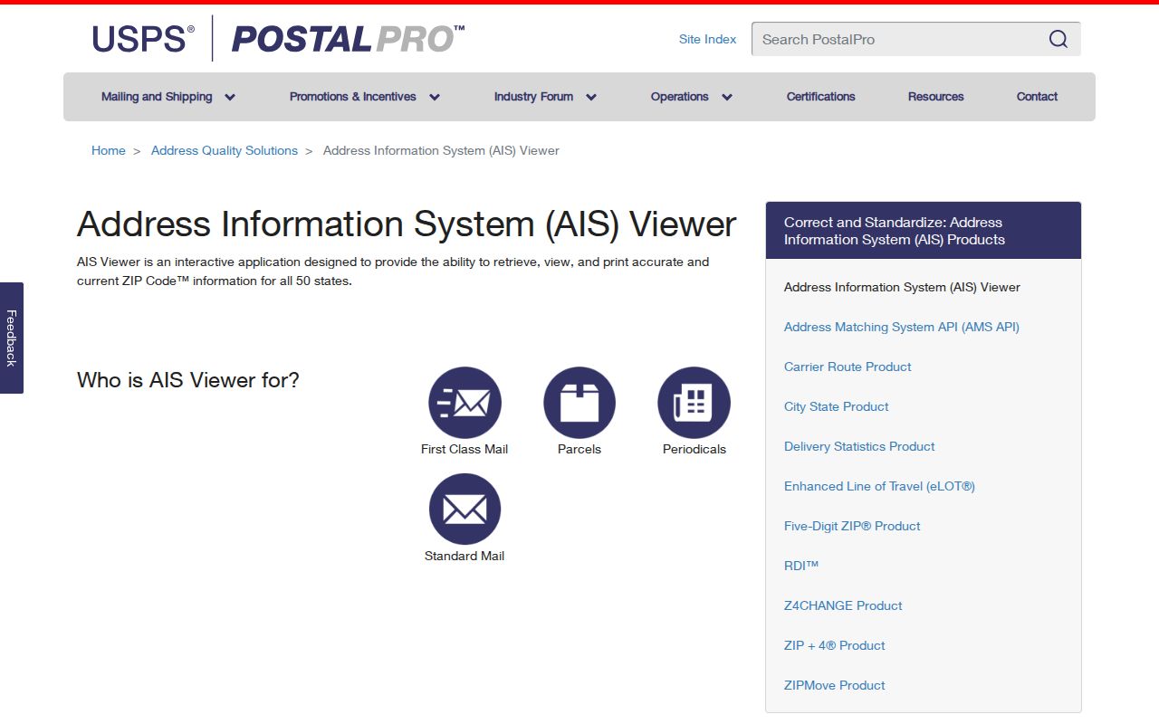
The viewer's address-quality focus is useful when two spellings or postal-city labels compete. It cannot settle a parcel boundary, legal description, or historical street number.
Gates ZIP Code Lookup Fields
The Monroe County Voter Registration Lookup has a real Zip Code field, but it is a controlled personal lookup, not a ZIP-wide roster. Combining a standardized street number and street name with the ZIP, surname, and date of birth helps distinguish a person. The page can return registration-related information, polling place, sample-ballot, absentee or mail-ballot status, and elected-official information for the entered lookup.
| Field shown by Monroe | Type | Required | Format or use |
|---|---|---|---|
| Street # | Text | Not marked | Numeric street number |
| Street Name | Autocomplete/text | Not marked | Select the standardized street suggestion |
| Zip Code | Text | Not marked | Five-digit ZIP |
| Last Name | Text | Not marked | Surname for the lookup |
| Date of Birth | Text/date | Not marked | MM/DD/YYYY |
| Search | Button | Not applicable | Returns a lookup result or no-match response |
New York Election Law §5-508 identifies public registration fields, while §3-103(5) limits voter information to election purposes. Protected-voter rules can withhold an address, so a no-match is not proof that a person is unregistered or absent.
Use a Gates ZIP Code Carefully
A ZIP can make a name or address search more precise, but the official tools do not support a general list of residents by ZIP. The parcel trail is more dependable for confirming land location, and the voter tool is limited to a controlled lookup. Work from a complete address instead of trying to turn a delivery zone into a neighborhood directory.
- Run the current address through USPS and save the standardized street, city, state, and ZIP result.
- Open the Gates property-data gateway or the published assessment roll, then match the situs and parcel ID.
- Use the Monroe voter tool only for an entered person and address, with the ZIP as one of its fields.
- When the ZIP has narrowed the area to a road, use the Gates by-street directory for the address-to-parcel sequence.
The assessment gateway advertises taxes, parcel reports, and prior sales, but the inspected public material did not expose an advanced ZIP filter. Likewise, the public GIS metadata confirms parcel geometry and address display, not a ZIP filter or a ZIP-wide owner export.
Gates ZIP Code Parcel Bridge
When postal and municipal results differ, carry the parcel ID forward. Gates roll examples use identifiers such as 103.05-1-58 and 103.05-1-62.1; preserve the punctuation exactly as printed. The research does not establish a public legend for every segment, so these numbers should be called tax-map or parcel identifiers, not decoded by guesswork.
The Monroe County GIS Hub and its public parcel layer connect an address to a mapped polygon. The layer's display field is parceladdressstreetname. It was recreated weekly when inspected, while assessment joins are maintained daily, so map and roll dates still deserve a check. GIS shows spatial geometry, not a promise about current occupants.
Gates ZIP Code Postal History
Modern ZIP codes should not be projected into historical searches. The 1941 R.L. Polk directory included postal-zone information and a street guide, but that is a historical publication feature rather than proof that today's 14606 or 14624 existed in the same form. The 1912 Bell Telephone regional directory grouped Gates with Rochester, Charlotte, Henrietta, and Victor, reflecting telephone-service geography instead of present postal routing.
USPS Post Offices by ZIP can provide historical post-office context, but USPS warns that the information may not be current. For an older Gates address, use the printed street name, number, year, municipality, and parcel or lot together before accepting a modern postal match.
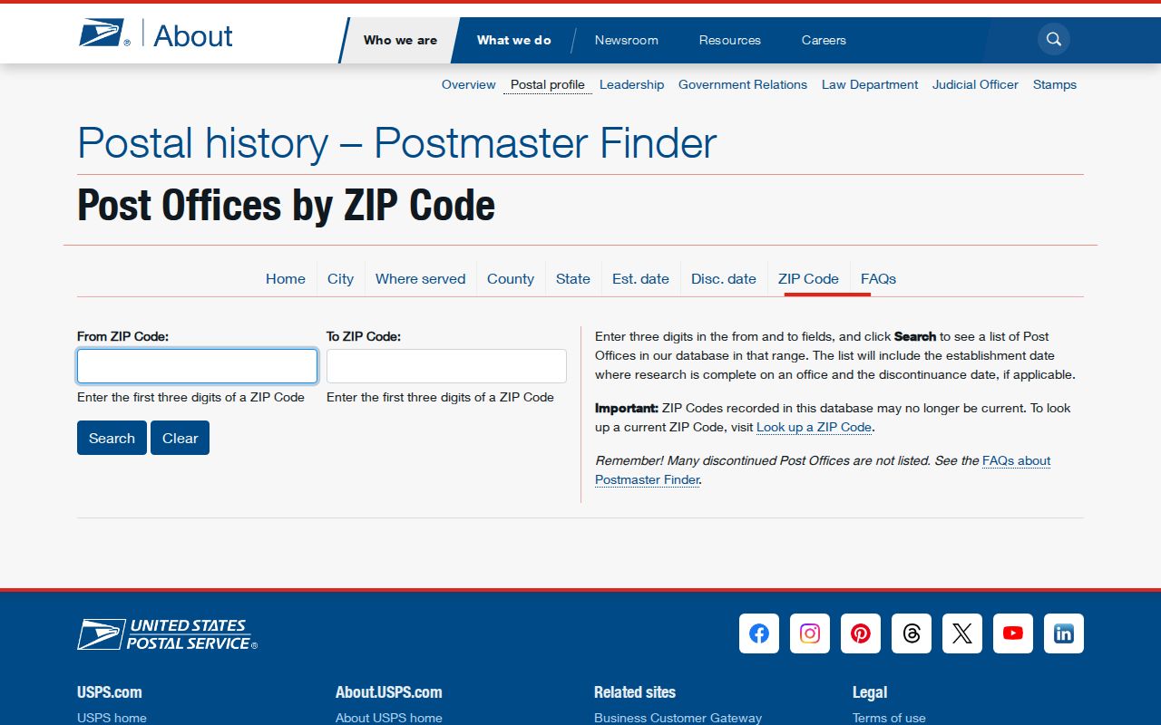
That historical finder is a lead for postal context. Deeds, plats, directories, and assessment records remain the records that trace an address through changing local geography.
Gates ZIP Code Terms
Postal terms are easy to confuse with property-record terms. Keeping them separate prevents a routine address check from becoming an incorrect conclusion about a parcel or household.
- ZIP code
- A postal routing code used to direct mail. It does not create a town boundary.
- ZIP+4
- An added four digits that further sort mail for a delivery segment. It is not a parcel number.
- PO-box ZIP
- A ZIP used for post-office boxes, which may not describe a street-delivery area.
- Unique ZIP
- A ZIP assigned for a particular organization or delivery arrangement. No verified Gates example was found in the research.
- Carrier route
- A postal delivery grouping. It is not evidence of municipal jurisdiction or ownership.
Gates ZIP Code Limits
No official population-by-ZIP, voter-registration-by-ZIP, ZIP+4 boundary file, or Gates ZIP realignment report was verified in the research. That absence is important. It is better to state that 14606 and 14624 are supported by Town address examples than to draw an exact service map from scattered addresses. A ZIP result is a starting point for postal verification, then the parcel, assessor, or historical record supplies the next layer.
For older address research, a present USPS result cannot backfill a nineteenth-century street number or a former town boundary. Compare the directory year, street guide, plats, and legal description before joining records across time.
A careful record note can hold four separate items: the USPS-formatted address, the Gates situs, the parcel ID, and the owner mailing field from a particular assessment roll. If one changes, preserve the source date rather than silently replacing the earlier value. That recordkeeping habit is especially helpful when an estate, family-history, or older-directory search reaches a street whose municipal label has shifted.
Use a post office's current answer for current mail. Use the Monroe parcel record for land location. Use a historical directory or map for the earlier address form. None of those sources has authority over all the others, and a disagreement is often the detail that shows which additional record to check.
Save the original search terms alongside the result. A later reader can then retest the address without confusing an older postal clue with a current parcel record.